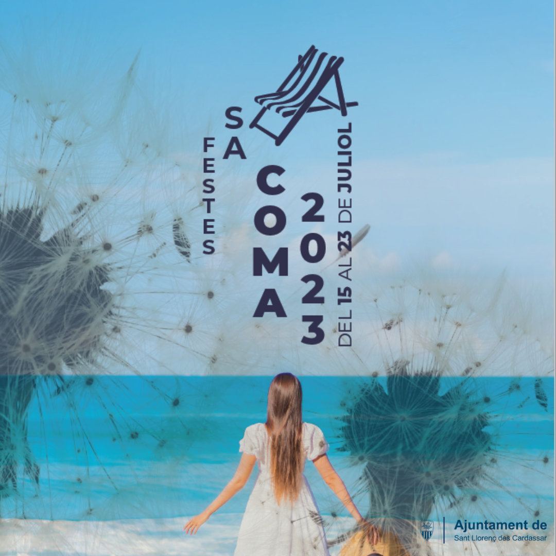
Patron Saint’s Day Festival in Sa Coma
The patron saint’s day festival in the Sa Coma district is held in the middle of July. It is a good example of the resort’s
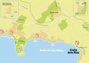
As its name suggests, the Costa dels Pins (Pine Tree Coast) is on a slope running down to the sea from the island’s Llevant Mountains. These mountains run from the county of Artà to Felanitx in a discontinuous chain that never rises above six hundred metres. The mountain behind the resort protects it from the north winds and separates it from the town of Canyamel in the municipality of Capdepera.
The Costa dels Pins juts into the sea and has a multitude of coves, the best known of which are Sa Marjal and Es Rajolí. They are perfect for those looking for a quiet beach and ideal for snorkelling and diving to see the marine fauna of our coast. A very popular spot with visitors is the Cap des Pinar lookout point, to the north of the Costa dels Pins, with its spectacular views over the whole of Cala Millor bay. There are also attractive hiking routes that link the Costa dels Pins with Canyamel.
The Costa dels Pins is mainly a residential zone with many luxurious houses and is famous for its architecture. Its residents include a large number of well known artists and captains of industry who have chosen this area for their summer residences. It has a small shopping centre with a couple of shops and restaurants, an emblematic hotel, an 18-hole golf course and, of course, unbeatable scenery. The small shopping centre is to the north of the main beach and can be reached on foot, by public bus or on the mini tourist train.

The patron saint’s day festival in the Sa Coma district is held in the middle of July. It is a good example of the resort’s
Around 10 August This is the area’s most eagerly awaited summer festival. It has something for everybody, although today’s festival bears little resemblance to that
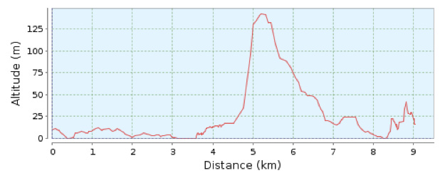
Distance 9.6 Km. Duration 150 min. Ascending slope 250 m. Difficulty 3/4 Type no circular From Cala Bona Tourist Information Office follow the cycle track
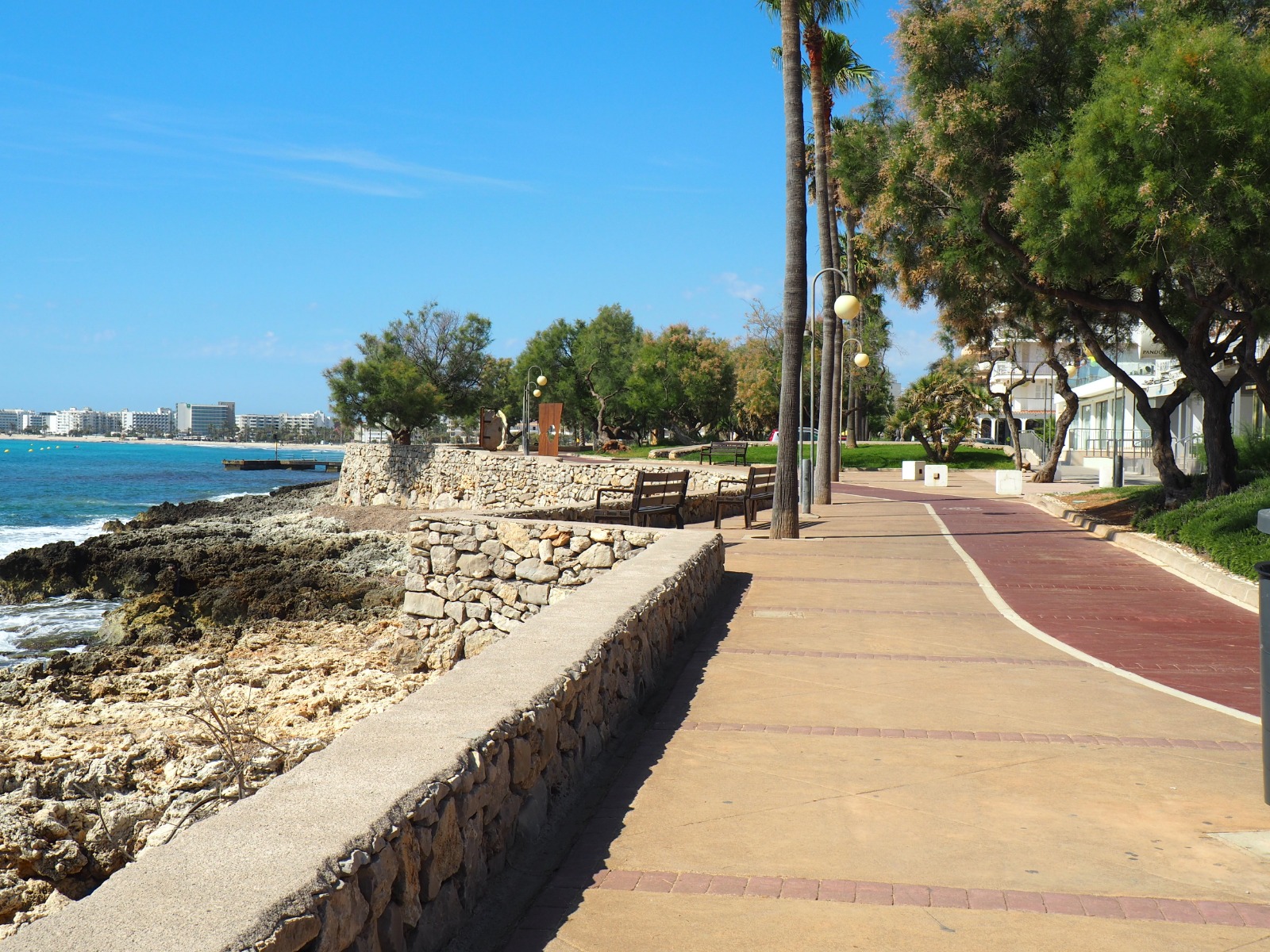
In addition to sun and beaches, Cala Millor offers its visitors many other leisure and entertainment activities. Its 20 kilometres of fairly flat terrain make
© Consorci de Turisme de Son Servera i Sant Llorenç des Cardassar
This website uses cookies so that we can provide you with the best user experience possible. Cookie information is stored in your browser and performs functions such as recognising you when you return to our website and helping our team to understand which sections of the website you find most interesting and useful.
Strictly Necessary Cookie should be enabled at all times so that we can save your preferences for cookie settings.
If you disable this cookie, we will not be able to save your preferences. This means that every time you visit this website you will need to enable or disable cookies again.