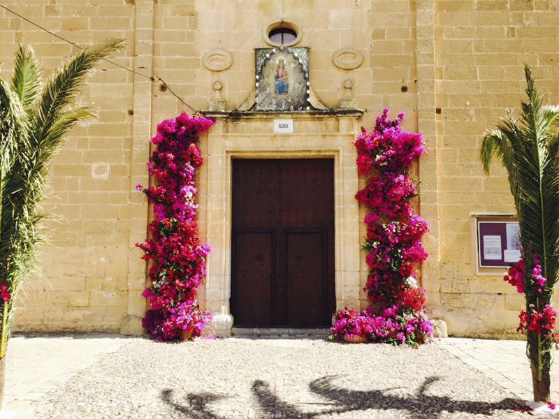
Mare de Déu Trobada
Fiesta religiosa que comienza con una ofrenda floral a la Mare de Déu, una celebración religiosa por la tarde y, al caer la noche, un tradicional

Fiesta religiosa que comienza con una ofrenda floral a la Mare de Déu, una celebración religiosa por la tarde y, al caer la noche, un tradicional
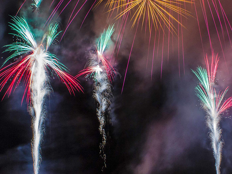
Se celebra el segundo fin de semana de septiembre, con música y pasacalles. Durante estos días de fiesta se programan un gran número de actos
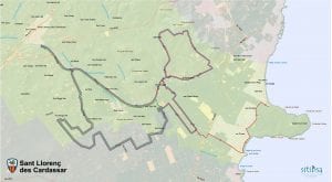
Distancia 15-40 km.
Dificultad 3/4.
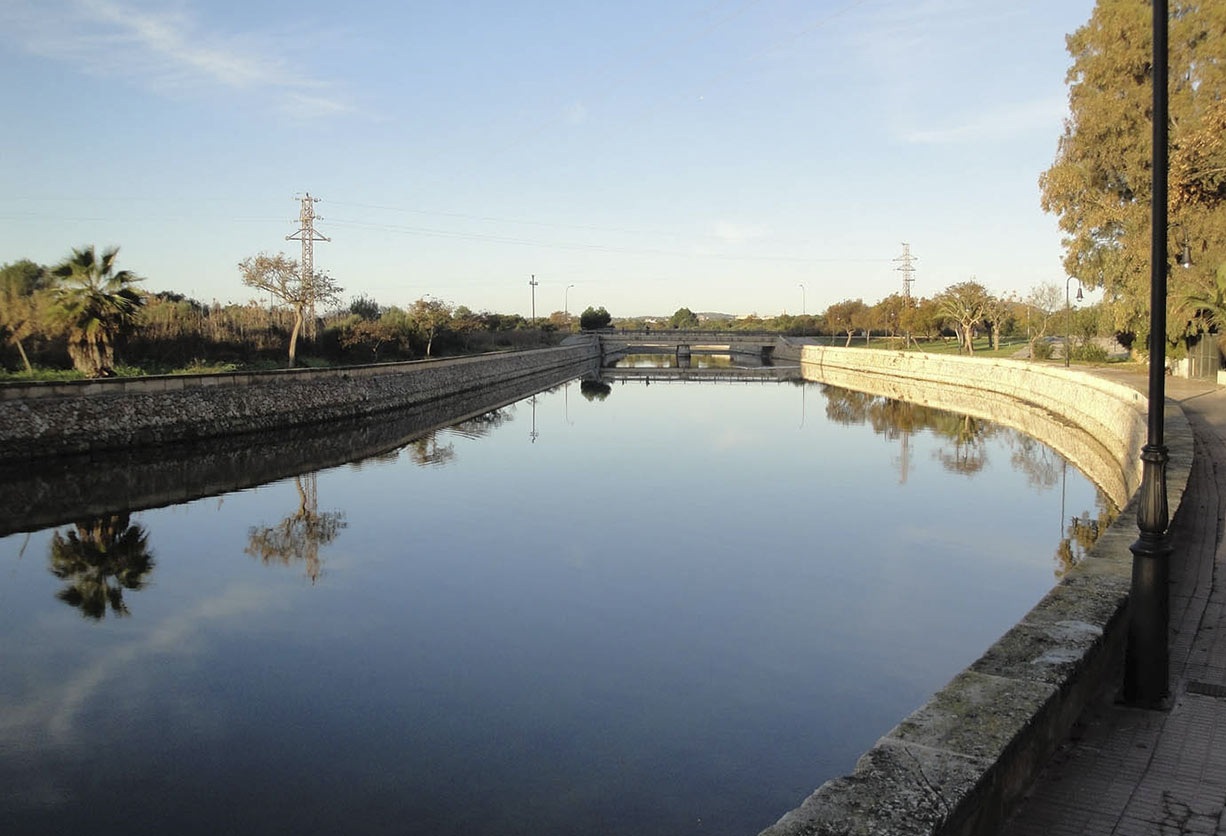
Salida: Oficina de información turística de Cala Millor. Av. Bahía de Llevant, 2.
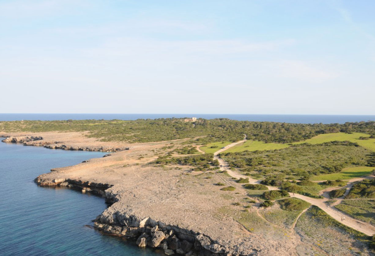
Llegada: Son Carrió
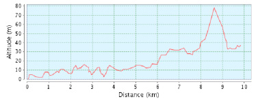
Distancia: 9,82 Km.
Duración aproximada: 2 h. 30 min.
Desnivel ascendente acumulado: 78 m
Desnivel descendente acumulado: 45 m
Dificultad: baja
Tipo de ruta: no circular