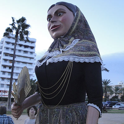
Mare de Déu dels Àngels
Finales de Julio – Cala Millor Patrona de la iglesia de Cala Millor, con motivo de la Mare de Déu dels Àngels se llevan a cabo actividades

Finales de Julio – Cala Millor Patrona de la iglesia de Cala Millor, con motivo de la Mare de Déu dels Àngels se llevan a cabo actividades
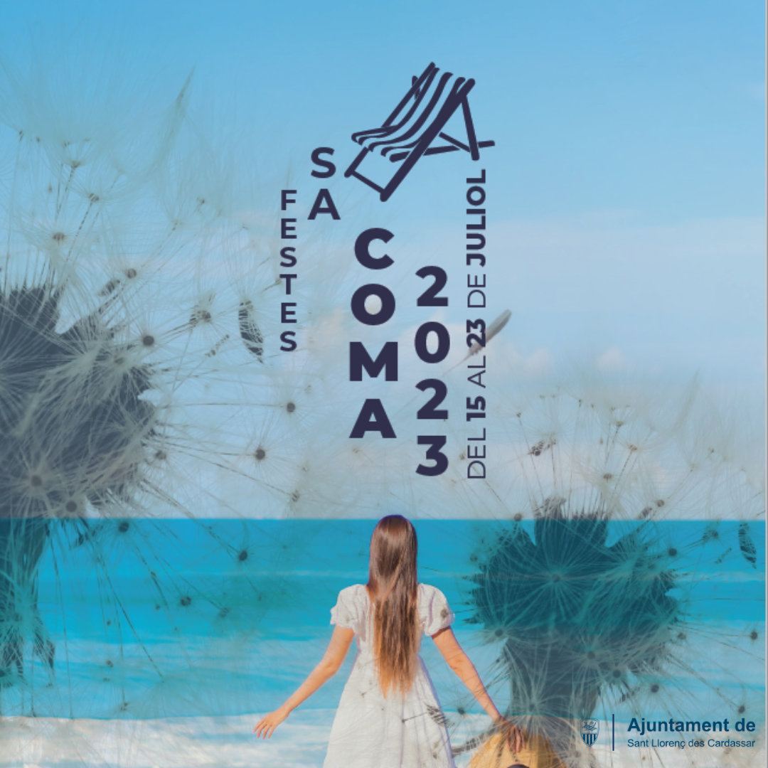
Las fiestas patronales del núcleo de Sa Coma se celebran a mediados del mes de julio. Es un exponente de la fiestas de verano del
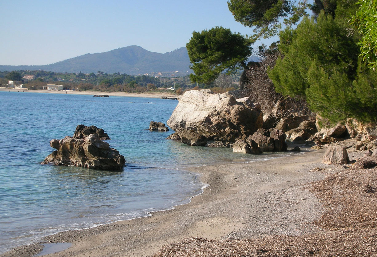
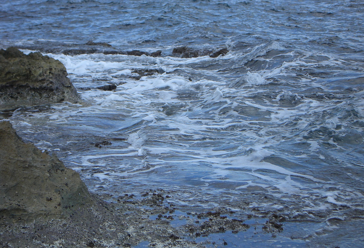
Distancia 15-40 km.
Dificultad 3/4.
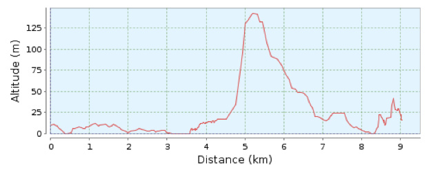
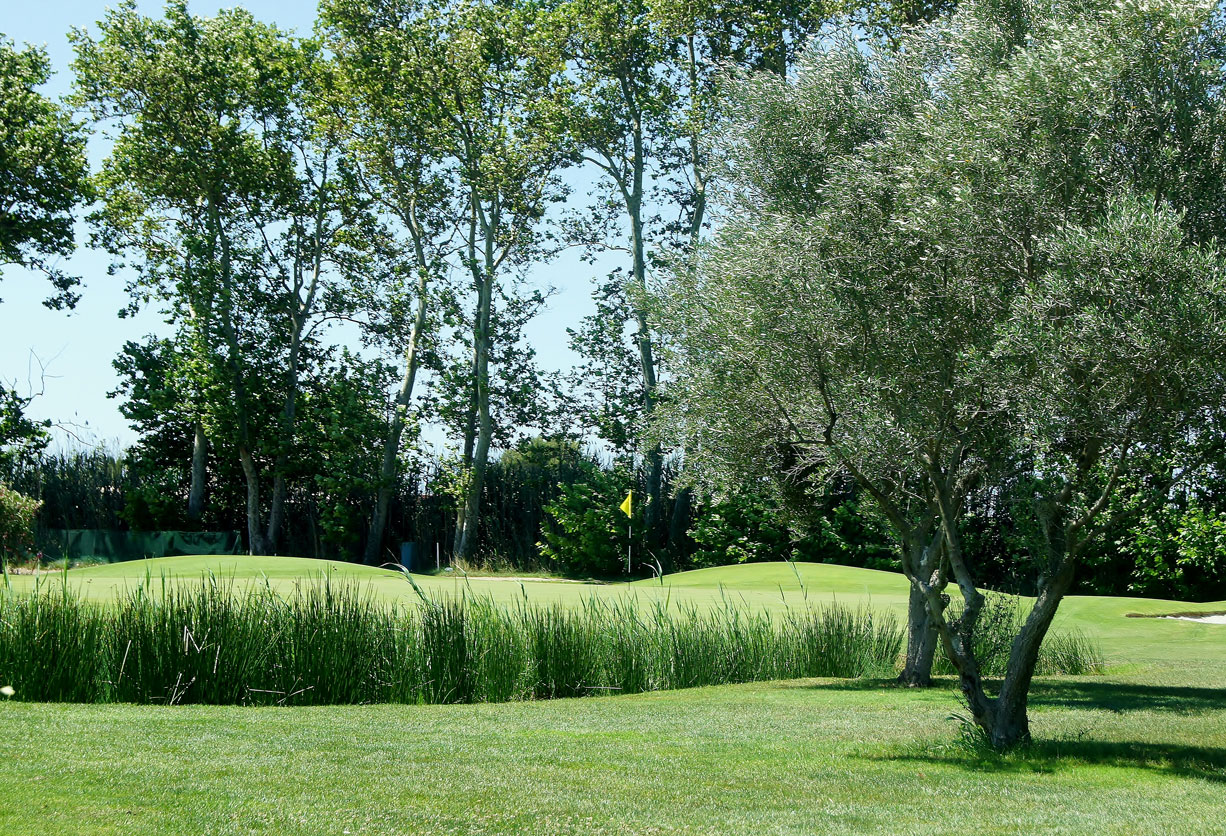
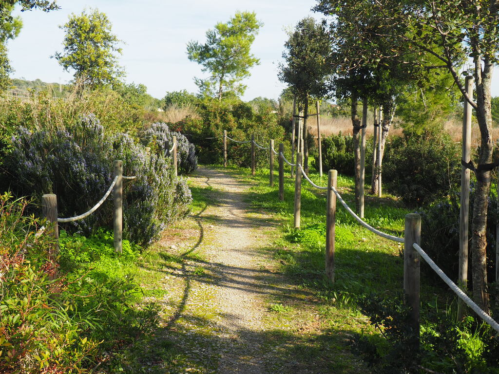
Distancia 9.6 Km. Duración 150 min. Desnivel Ascendente 250 m. Dificultad 3 Tipo no circular Desde la Oficina de Información Turística de Cala Bona continúe